Congaree rises into Cayce neighborhood
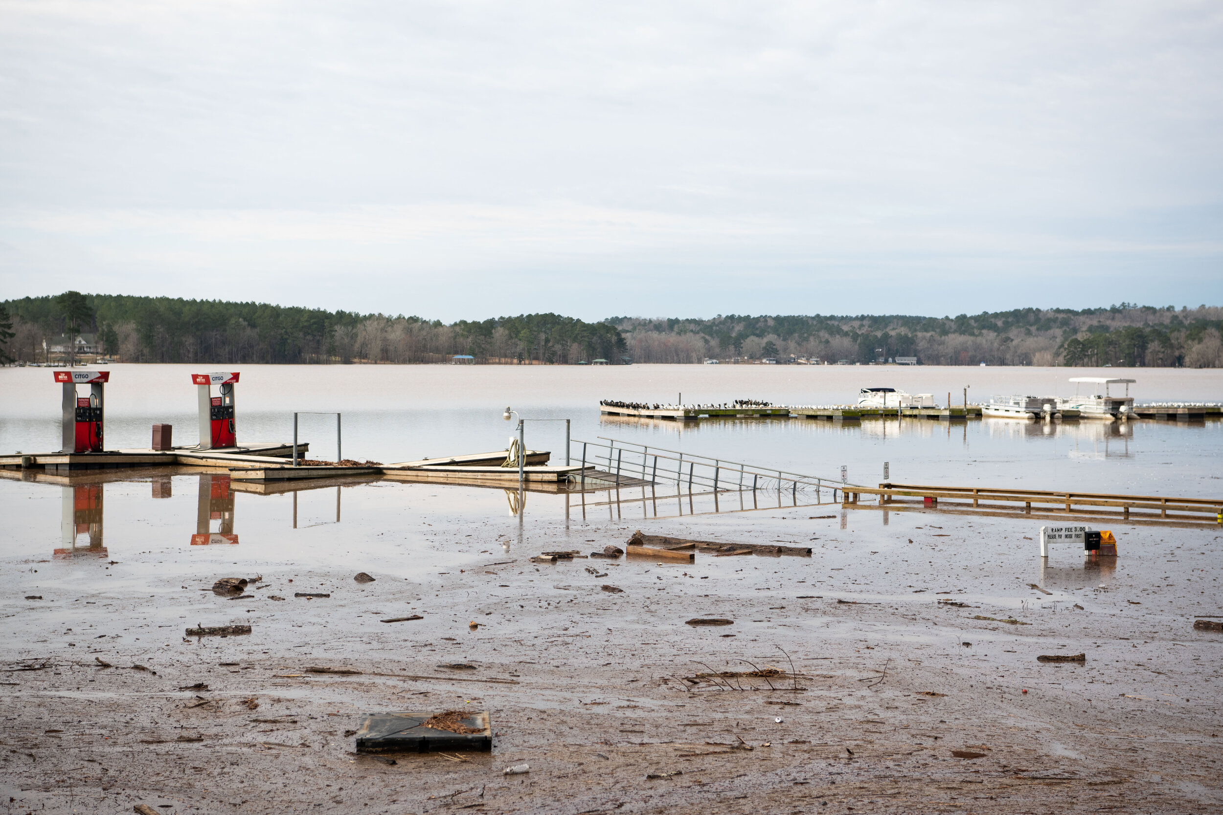
On Saturday, I made a trek northeast from Columbia to Lake Wateree, where water levels were expected to rise to record heights. My loop took me around Great Falls and then south along the Wateree to Highway 601 past Eastover, over the Congaree, through Fort Motte, Sandy Run and back into Cayce — when forecasts called for flooding in the Riverland Park subdivision.
“I can tell you, the water wasn’t here 30 minutes ago,” says an officer after I inquire late afternoon. Floodwaters are expected to rise until Sunday morning.
Congaree River / West Columbia, SC
Columbia, SC
Riverland Park subdivision / Cayce, SC.
Fishing Creek Reservoir near Great Falls, SC
Fishing Creek Reservoir near Great Falls, SC
Beaver Creek, SC
Dutchman Creek Marina / Lake Wateree, SC
Dutchman Creek Marina / Lake Wateree, SC
Lake Wateree, SC
Lake Wateree, SC
Resource: Southeast River Forecast Center
RELATED CONTENT: Hurricane Dorian Photo Report
About the author:
Sean has been photographing South Carolina since 1997 when he joined the Gamecock Newspaper at the University of SC. He came to school to study computer science — but those classes sucked. After receiving a degree in Media Arts, Sean worked as an assistant manager at a record store, and began freelancing with the local daily newspaper. After a few years and multiple gun-point hold-ups, Sean found himself tending bar at a small live music venue, balancing the service industry with freelance photography for over a decade. He lost his job after telling his boss off at the bar one night, and took on photography full time in 2015. Since then, Sean has become a regular contributor to Getty Images, The Associated Press, The New York Times and many others. You can see more of his work at www.seanrayford.com.


